Status
Leica GS20 Field Guide-1.1.0en
94
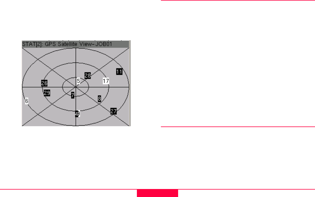
10.1.3 Satellite View
The satellite view provides a user friendly interface for viewing
visible vs. tracked satellites. Satellites are displayed by their
corresponding number. Tracked satellites appear highlighted
with the satellite number inverted.
Figure 10-1: Status/Satellite View
)
The exterior ring represents the mask angle, the next
interior ring is 45 degrees, and the most interior 60
degrees.
10.2 Interfaces
10.2.1 Real-Time
The real-time interface provides information about the RTCM
corrections being received by the device. Interface data will be
specific to the device being used, for example:
10.2.1.1 RTB Coast Guard Beacon
• Station ID
• Frequency
• Channel
• Bit Rate
• Signal Strength
• Signal to Noise Ratio (SNR)
• Correction Age
• % Correction Received
10.3 Hardware
The hardware screen displays information pertaining to
• Serial Number
• Firmware Version
• Total Available RAM (in bytes)
• Battery Level


