Navigation
Leica GS20 Field Guide-1.1.0en
44
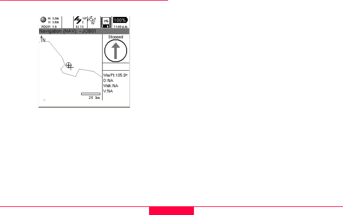
4.1 The Navigation Screen
The navigation screen is framed to provide the map display
along with active navigational controls and text.
The framed control panel contains a directional guidance
arrow, and text fields providing:
1. Azimuth to the Waypoint.
2. Distance to the Waypoint.
3. The user’s course Azimuth
4. The user’s course Velocity.
Remember: Because the GPS bearing and velocity are
calculated using GPS positions, the user must
be moving for course data to be displayed.
• If the user is stopped, the arrow and course fields will
become inactive.
• If the user is moving, but no Waypoint is selected, the
arrow becomes a North Compass.


