Data Management
Leica GS20 Field Guide-1.1.0en
36
3.1.3 Options with a Node Selected
When a node is selected on a feature, the user can select
another node common to the feature graphically in the map,
view the coordinates or re-occupy the node via 1
Geography,
or use the 2
Node submenu to:
1. Progress to the First, Last, Previous or Next node.
2. Copy to, Select from, or Paste from a node via the
Clipboard.
3. Insert New nodes Before or After the current node
selected.
4. Delete the selected nodes.
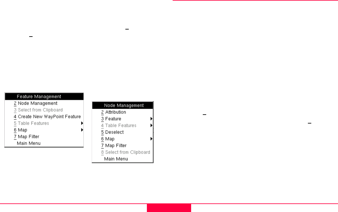
3.2 Selecting a Feature
In order to view or manipulate feature data, a feature must first
be selected. Selection can be performed from a table of
features via Feature Management, or graphically from a map.
3.2.1 Feature Management
Tabular selection of a feature is done from the Feature
Management menu. Once in Feature Management, by default
features will be listed alphabetically; point, line and area
templates will group like features and present them in a
numerical order. However, by choosing Menu and Sort the
table can be sorted by Name, Code, Feature Type and by
Ascending or Descending order.
• To view the attributes of a table selection, press menu and
choose 3
Attribution, or simply press Enter.
• To select the feature, press Menu and choose 2
Select
from the context menu.
Other options of a selected feature include feature
manipulation (e.g. delete and clipboard functions) and the
ability to flag a selected feature as a Waypoint.
Tip: Linear Perimeter and Polygon area can be calculated in
the Attribution screen if a coordinate system has been
selected.