


Basic Operation
Leica GS20 Field Guide-1.1.0en
19
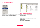
1.5.4 Tables and Filtering
Tables are used to display multiple attribute data that cannot
be directly edited. The table can be navigated by the cursor
keys (left and right being home and end) as well as the
overload keys 3
Page Down and 9 Page Up.
Two main types of tabular data found in the GS20 are
selectable and informative.
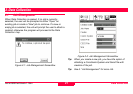
• Selectable fields allow the user to make a selection such
as choosing a Job or Codelist, and are usually identified by
a radio button (selectable circle). Additional options, such
as New, Delete, etc. usually exist in the context menu.
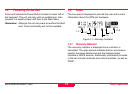
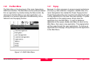
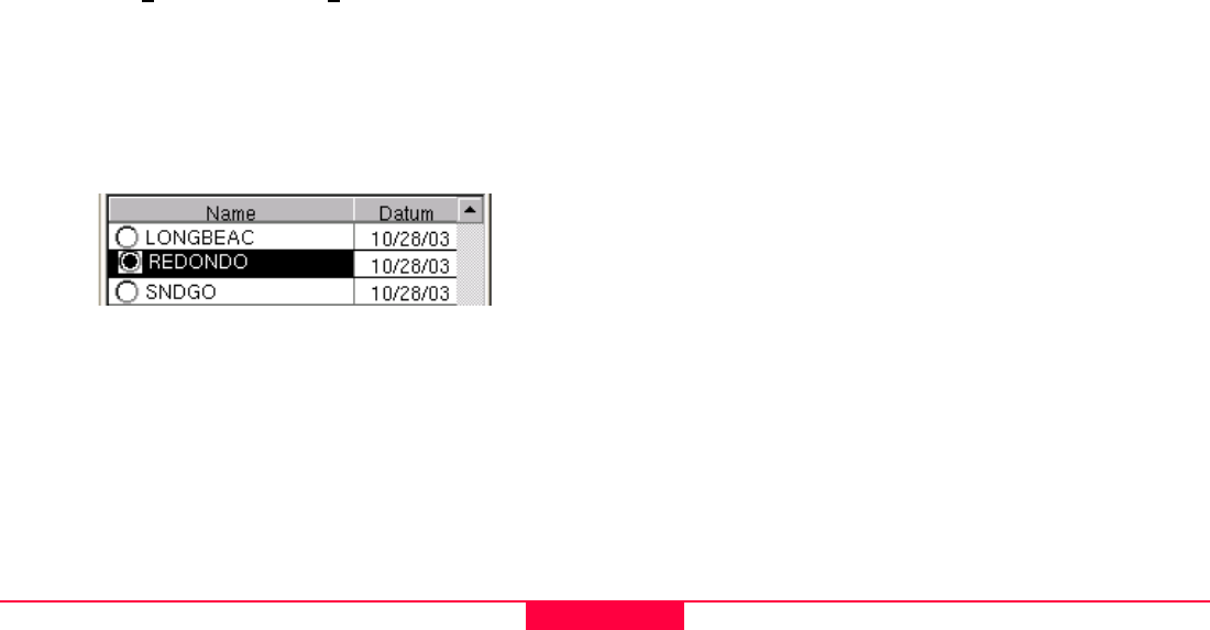
Figure 1-5: Selectable Table
• Informative fields allow the user to view and manipulate
information about the tabled object.
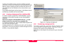
1.5.5 Filtering
In order to provide power and flexibility to the user, the Leica
Geosystems GS20 maintains separate filters for individual
tables and maps.
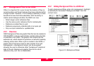
1.5.5.1 Map Filters
Map filters provide the user with the ability to hide or display
data in the map.
Map filters allow the user to discriminate data based on
• Feature Code (Layer name)
• Feature Name (Feature ID)
• Feature Type (Point, Line, or Area)
• Time of collection
• Waypoint Status (Flag as Waypoint (i.e. to be navigated to)
or Visited)
Similarly data can be filtered in a table for selection, edits,
clipboard function or changing the Waypoint status.