Basic Operation
Leica GS20 Field Guide-1.1.0en
17
1.5 Software User Interface
1.5.1 Map Views
The map view is the common interface on which all main
applications are built. Data Collection, Data Management and
Navigation all contain a map interface that has similar controls
and are continuously updated, but have independent settings.
Zooms, filtering, selection, and autopan GPS are all unique to
each applications mapview.
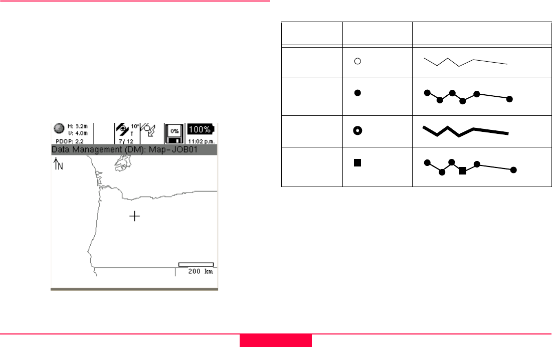
Figure 1-4: Mapview (Selected and Filtered)
Normal: Standard features in Mapview
Selected: The currently active feature selection
Filtered: Display of features in a current table
Table 1-2: Mapview Legend
Points Lines and Areas
Normal
Selected
Filtered
Selected
Node


