Setup
Leica GS20 Field Guide-1.1.0en
86
7. Escape and save the values, then escape and save the
configuration.
)
If you are editing a default configuration, you will be
prompted to provide a configuration name.
8. Escape to the main menu, and return to the status/
Interface/Real-time branch to check the status of the real-
time device. You should now see values for the Station ID,
frequency, bitrate, etc.
9.8.6 Offset Devices
9.8.6.1 Configuration of the GS20.
When points cannot easily or accurately be accessed by
direct GPS location, you have the option of calculating using
an offset method.
The GS20 offers four point offset collection methods and
works with most laser range finders.
The WoRCS Belt supports the laser range finder and
transmits the data cablefree to the GS20. Again, we will be
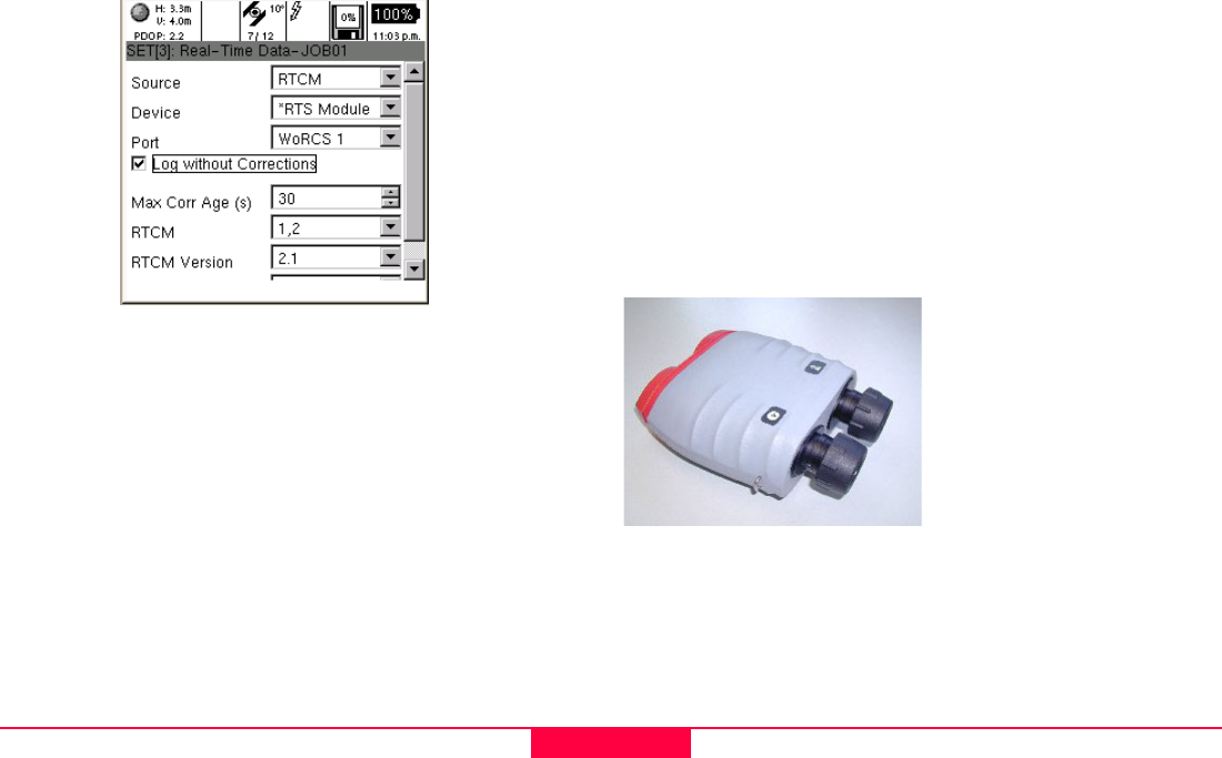
using the Leica Laser Locator (see below).
The Rangefinder can be interfaced with the GS20 directly in
serial port 1, or the WoRCS belt utilizing ports 1 or 2. Data can
then be transmitted to the GS20 cable free.
Leica Geosystems Laser
Locator
• Laser Rangefinder
• Inclinometer
• Magnetic Compass


