


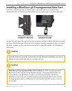
7
BlueChart g2 User’s Guide
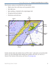
vIewIng bluechart g2 > accessIng addItIonal object InformatIon
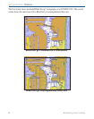
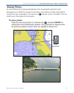
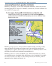
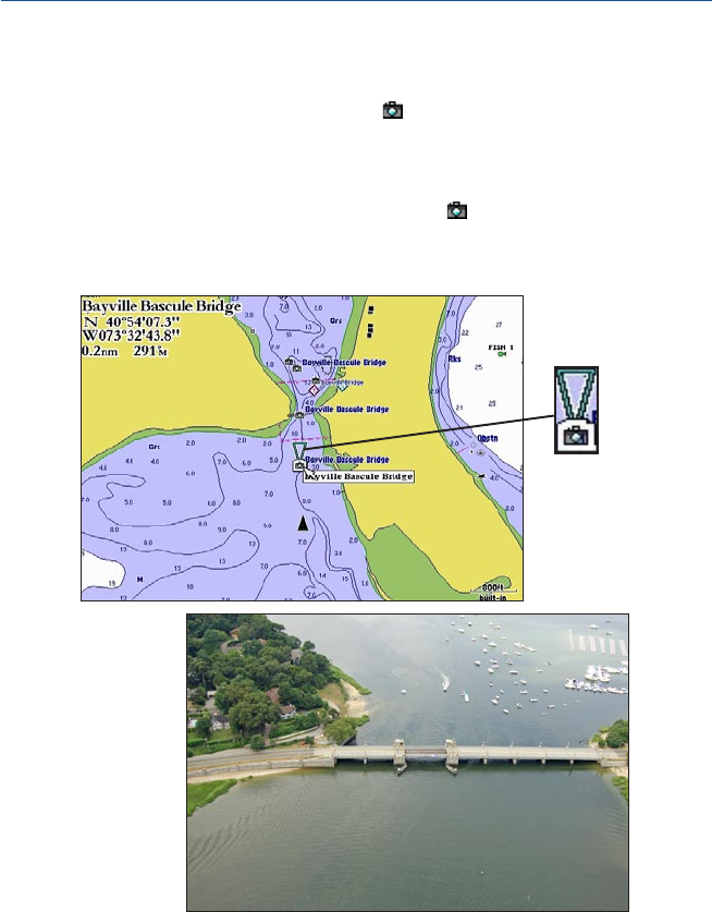
Viewing Photos
On Garmin BlueChart g2 preprogrammed data cards, navigationally signicant aerial
photographs are available for most ports and marinas. These photos can help you familiarize
yourself with your surroundings. The camera icon ( ) indicates a photo is available. There are
usually two or three photos for each marina.
To view a photo:
Place the unit’s map pointer on a camera icon ( ), and press ENTER. An
aerial photo of the selected area appears. The perspective or angle at which
the picture was taken is shown when you highlight a camera icon.
Photo
perspective