


4
BlueChart g2 User’s Guide
vIewIng bluechart g2 > understandIng bluechart g2 data
VIewInG bluechart G2 InformatIon
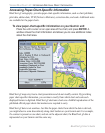
BlueChart g2 technology for the coastal United States (including Alaska and Hawaii)
is preloaded on Garmin’s GPSMAP 492 and GPSMAP 498 chartplotters, as well as its
large- display GPSMAP 2200 series and GPSMAP 3200 series of chartplotters.
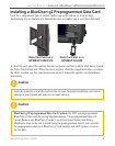
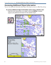
To access additional BlueChart g2 functionality, you can purchase preprogrammed data cards.
These BlueChart g2 data cards include highly detailed coastal roads and points of interest such
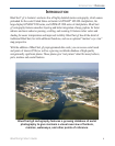
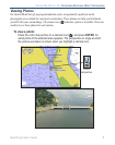
as restaurants, lodging, local attractions, and more. Full-color aerial photos of ports, marinas,
bridges, and navigational landmarks are also included on many data cards. See page 7 for
information on viewing photos while using a preprogrammed data card.
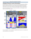
Understanding BlueChart g2 Data
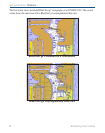
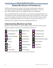
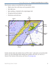
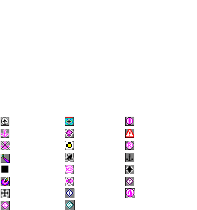
BlueChart g2 electronic charts use graphic symbols to denote map features. Some common
symbols you might see include, but are not limited to, the following*:
Airport/Seaplane Base Dangerous Rock Pilot Boarding Area
Anchorage Berth Explosive Precautionary Area
Anchoring Prohibited Exposed Rock Radio Report Point
Beacon Exposed Wreck Recommended Anchorage
Building Fishing Harbor Rescue Station
Buoy Fishing Prohibited Tide Station
Church Information Yacht Harbor
Current Station Marina Services
*Some symbols might appear differently on your Garmin chartplotter.